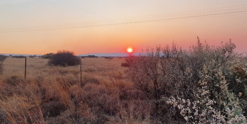
The Ghaap Plateau
Griqualand West: The Ghaap Plateau
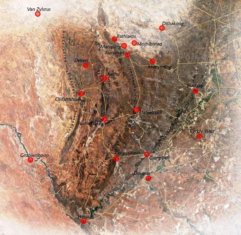
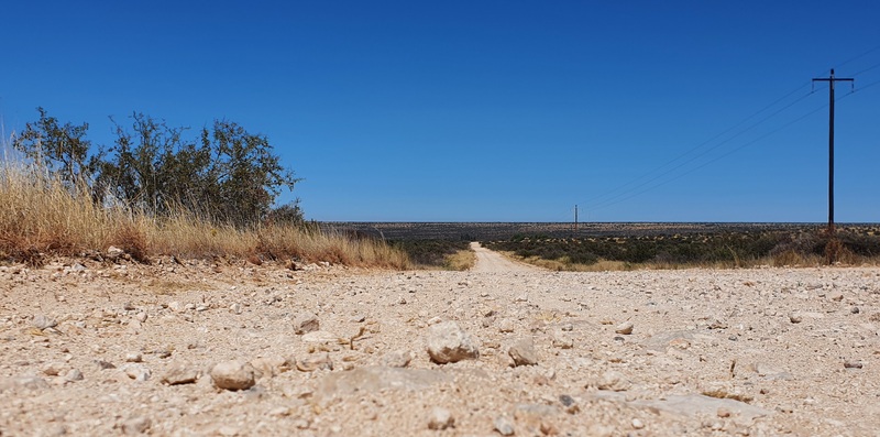
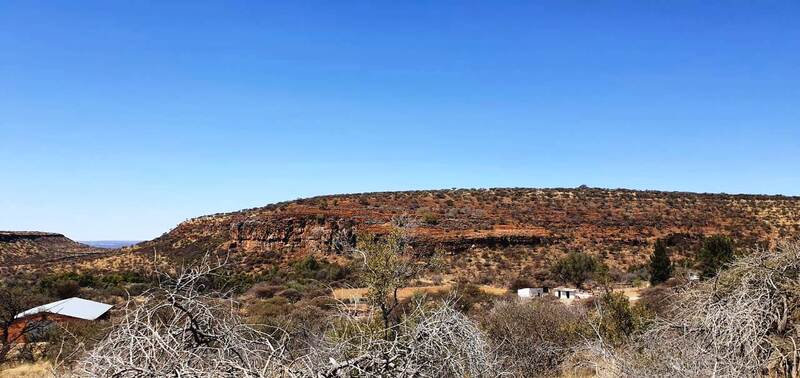
The Ghaap Plateau is a high plain, consisting of blocks of ancient lava crust, laid down around 3 billion years ago. Thereafter, large sediments of dolomite were laid down; these white limestone layers consist of deposits of early single-cell bacteria. Above the dolomite, there are large deposits of iron, manganese and asbestos. The Ghaap is an ancient plateau, dating back around 3 billion years, when it was the western rim of one of the first continents, the Kaapvaal Craton. (The eastern part of the Kaapvaal Craton later broke away to form western Australia).
Today, the rich dolomite layers sustain a vibrant lime mining industry; and iron and manganese mines have become massive around Postmasburg, Kathu and Kuruman. The asbestos industry subsequently collapsed due to health concerns. However, there are also diamond mines, caused by a later phase of volcanic activity.
The names of farms and settlements have been used to describe geological formations within the Ghaap Plateau. “Danielskuil”, “Kuruman” and “Kliphuis” form part of the Asbestos Hill subgroup; “Tsineng”, “Gamohaan”, “Kogelbeen”, “Papkuil”, “Klipfontein”, “Fairfield” and “Reivilo” form the Campbellrand subgroup; and “Clearwater, “Boomplaas” and “Vryburg” form the Schmidtsdrif subgroup. For almost 200 years, these placenames have appeared in church records, creating a link between communities and geology.
The rich and varied mineral deposits also led to mining investments – ranging from very small-sale to massive modern mines – and movements of people as artisans and unemployed people sought work opportunities. Kathu evolved from a remote farm to a major mining town. Postmasburg grew from a tiny farming settlement to a bustling mining centre. The destitute village of Danielskuil in the late 1890s is now a substantial town, supported by lime mining. Desperately poor people who worked in asbestos operations were scattered throughout the Ghaap Plateau.
The churches served the poor, the artisans, the farmers and farm workers, the villagers and the tribal outposts. Between 1850 and 1897 (when the Tswana rebellion was suppressed in the Langberg), LMS clergy at Moffat Mission were active throughout the region. Rev Robert Moffat travelled in his ox-wagon to remote villages and farms. He held prayer meetings, gave sermons, baptised people, examined candidates for church membership, and adjudicated in court cases. He was followed by Rev john McKenzie, who established new outstations in the 1880s, among the Tlharo in the Langberg, and at Gatlhose (near Blinkklip / Postmasburg), and at Kathu. Thereafter Rev Roger Price and Rev J Tom Brown were active missionaries in the Langberg, building friendships with Tlharo leaders. The LMS also had an outstation at Danielskuil. Coloured and black preachers, such as Rev Bart Haai, were also a steady source of religious inspiration. Today, we are grateful to the LMS (and later, other churches) for keeping meticulous church records, recording key moments in the lives of humble people throughout the region.
The expansion of the mission effort was part of social change in the Ghaap region. In the late 1800s, many Tswana people desired more consumer goods, guns and horses, and were willing to trade ivory to obtain these goods. They became receptive to new cultural patterns, such as literacy, education and trade. The missionaries represented a technical and cultural gateway to the sophisticated economy of the southern Cape.
The LMS became known as the United Congregational Church in 1967, when it merged with the American Board Mission and the Congregational Union of South Africa.
The Ghaap region suffered several major upheavals between 1870 and 1910. The first upheaval was the loss of Griqua and Korana-held land, largely due to the 1875 Stockenstroom Land Court, which concluded that Griqua and Korana did not hold land as property; instead, the Court argued, they ruled over their own people without regard to property. This judgement opened the way for far-reaching land acquisition by white settlers and unscrupulous land speculators. A few notables such as Andries Waterboer and Andries Kok received farms, but other Griquas and blacks increasingly sold their farms and had to migrate new “locations” at the towns and villages to make a living.
In 1878, a Tswana/Griqua/Korana rebellion erupted due to the loss of their land to the Colony, the fear of taxation, and the gradual introduction of Masters and Servants Law, which was used in various ways to limit the freedoms and dignity of black and coloured people. Cattle-stealing became a form of political protest against whites. The rebel campaign was known as “The War of the Wagon”. Griquatown, Campbell, Dithakong (Lattakoo), Gamopedi and Witsand were attacked by the rebels, who were driven off by colonial forces.
After the rebellion, more Kora and Tswana chiefs were brought under colonial control, and some land was allotted to them, but many people were impoverished, sold their land in desperation, and moved to the towns, villages and diggings, becoming a landless proletariat. Tswana land was centered around Kuruman and Taung, where large tribal reserves were established in 1885. The chiefs continued to manage their tribal affairs, under British control. This was an important region for the LMS, which built church networks there. The Kora retained their main area around Pniel (Barkly West), but this was increasingly under pressure from the diamond diggers.
A second upheaval was the rinderpest cattle disease in the 1890s, which was countered by extensive cattle culling by the authorities. In particular, the Tswana and Koranna were deeply aggrieved by this, and together with increasing land hunger, it paved the way for the 1897 Tswana rebellion. The Tswana forces were eventually defeated by the British forces in the Langberg, near Olifantshoek, and the Tswana’s political and economic status declined further.
Over time, the economic and political status of the Tswana weakened in the face of diamond mining in the 1870s. After 1997, Tswana could only obtain land in designated “Native Reserves”, most of which were later incorporated into the Bophuthatswana homeland. Many Tswana who were still living in scattered settlements in the Kuruman region were forcefully removed to the homeland. Other Tswana remained on white-owned farms as farm workers, or worked in towns and on the mines.
After 1997, an widespread land restitution process was undertaken, and some Tswana regained their land. This deserves much more research.