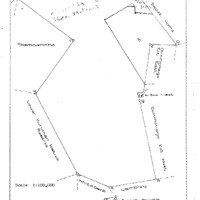
Maruping is situated in the Lower Kuruman Native Reserve, about 18 km north-west of Kuruman.
Toponomy
In Tswana: "At the ruins" or "the deserted village"
History
The baTlhaping were already living here when Rev John Campbell visited the area in 1815 (PL Breutz, The Tribes of the Districts of Kuruman and Postmasburg, 1963, p. 146). The original seTswana name for Maruping was Gamohana, also the name of a nearby hill where stone age archaeological remnants have been discovered. In 1818, the baTlhaping chief Mothibi moved from Dithakong (or "Lattakoo") in the Vryburg district to Maruping. He wanted to London Missionary Society to settle here, but Roberg Moffat preferred to live near the Eye fountain of Kuruman, where he could undertake irrigation agriculture. Maruping means "the place of ruins", because of the local abandoned houses. For some time, it was the capital of the notable chief Molehabangwe, the father of Mothibi (Breutz, p. 148).