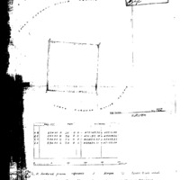
GaMopedi is situated 38 km north-west of Kuruman, in the Lower Kuruman Reserve. (PL Breutz, The Tribes of the Districts of Kuruman and Postmasburg, 1963, p. 123), The village is situated on the Kuruman River which provides underground water for irrigation. The landscape has hills and richer vegetation than the area further north-west. In the 1790s, the Tlhaping settled at Gamopedi (PHR Snyman, Kuruman - Vervloe Pad na Afrika, 1992, p. 16). In the early 1800s, chief Molehabangwe's brother, Serakotwe, lived between Gamopedi and Tsineng (PHR Snyman 1992, p. 18). The missionary William Edwards lived at Gamopedi in the early 1800s (Snyman 1992, p. 19). in about 1840-50, Chief Mongale of the baTlharo was the first headman at Gamopedi; some baTlhaping also live here.