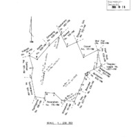
In Tswana: "Place of ruins". The root word thako means a brick, stone, or the remnants/ruins of a structure or settlement.
History
The very early Tswana settlers in the region were kthe Kgalagadi and Hoja, of which not much is known. They may have been the builders of the ancient stone ruins at Dithakong ((PHR Snyman, Kuruman - Vervloe Pad na Afrika, 1992, p. 14). By the early 1800s, Dithakong was the main base of the Tlhaping , where they met the first white explorer group, led by William Somerville in 1801 (Snyman 1992, p. 18). At this time, Dithakong was a settlement of about 8 000 people and 1 500 houses, under chief Molehabangwe. On 23 June 1823, a combined force of Griqua and Tlhaping defeated the "Mantatee" invaders, and put an end to the Difaqane raids in the Northern Cape border area (PHR Snyman, Danielskuil: Van Griekwa-buitepos tot dienssentrum, HSRC, 1988, p. 14).