Free State
- Location Name
- Free State
- Description
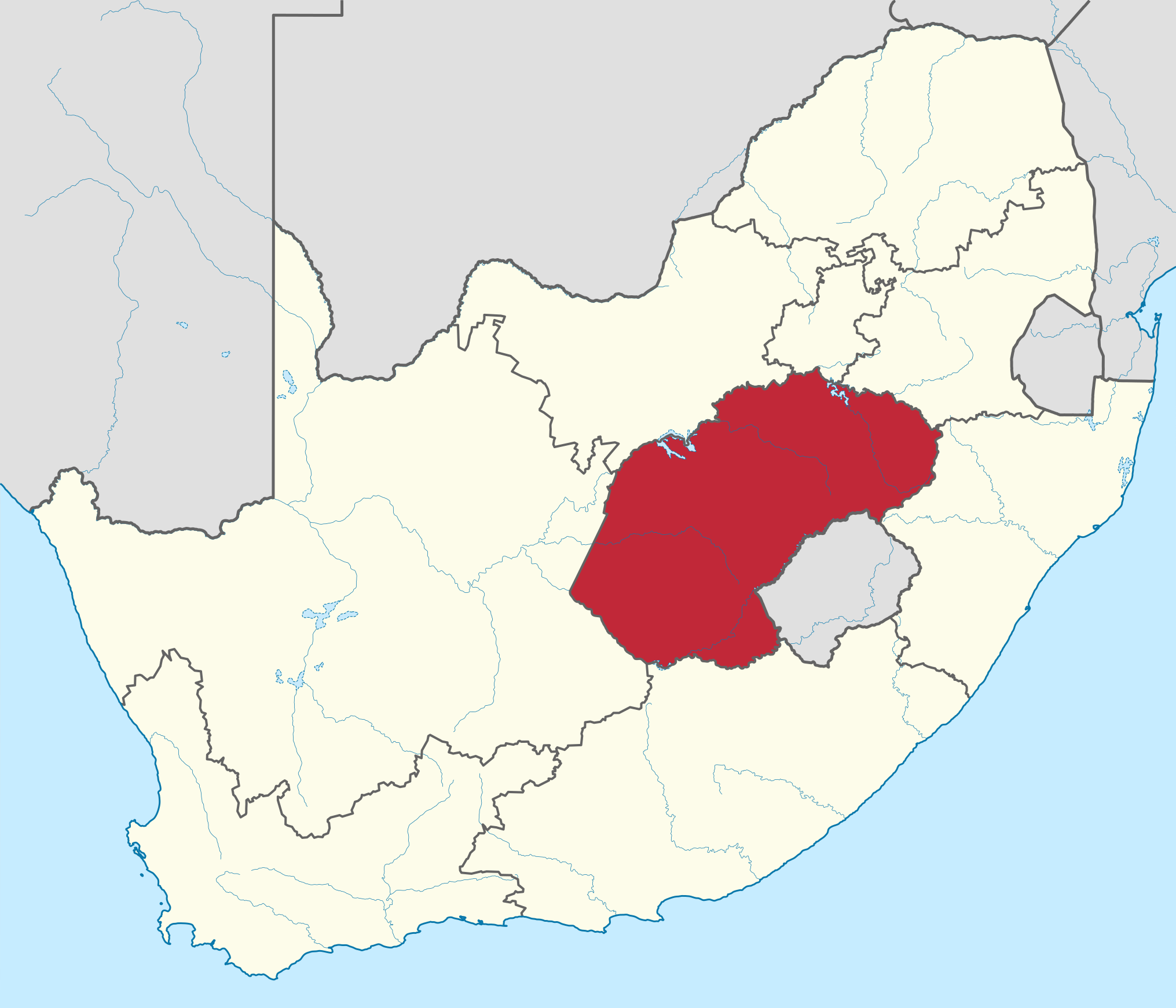
- Location: Province in central South Africa.
- Motto: Katleho ka kopano (Sesotho for ‘Success through Unity’).
- Capital: Bloemfontein (also South Africa’s judicial capital).
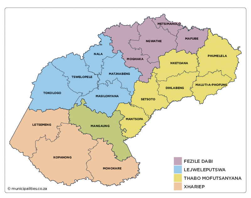
- Municipalities: One metropolitan municipality (Mangaung Metropolitan Municipality) and four district municipalities, which are further subdivided into 18 local municipalities.
- Principal languages: Sesotho 72%, Afrikaans 11%, isiXhosa 6%.
- Population: 2 921 611.
- Surface area: 129 825 km2.
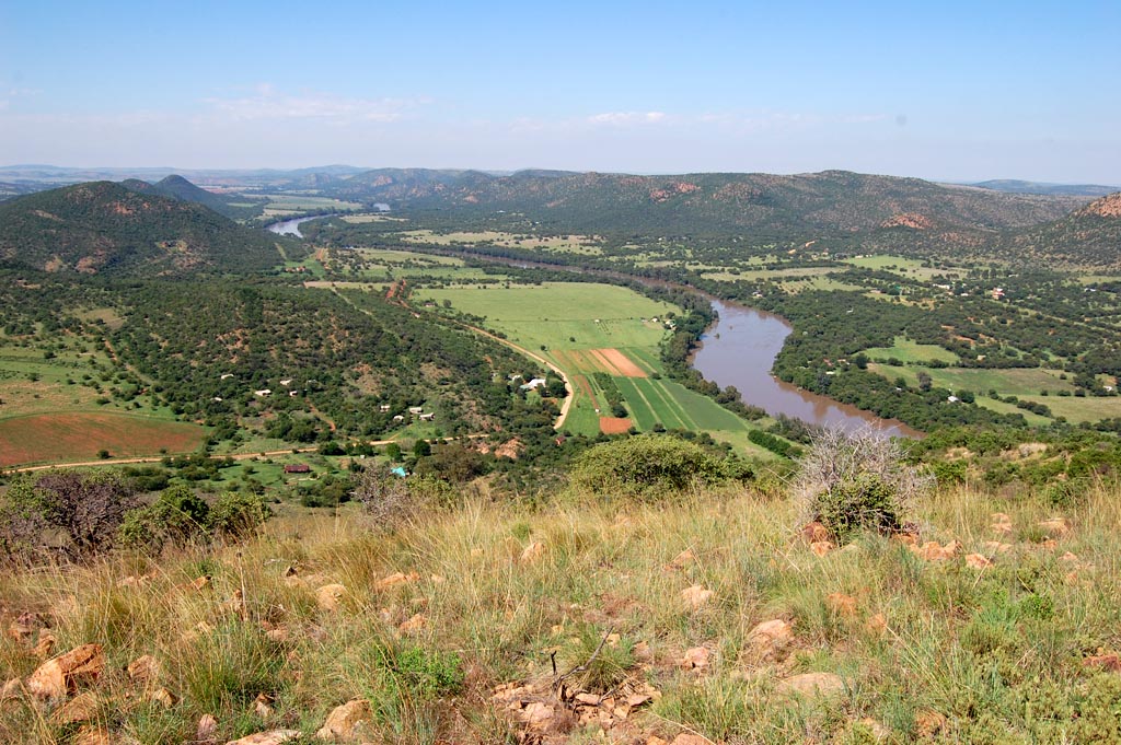
- Environment: Located on the Highveld plateau. Bordered by the Orange River (Gariep River) in the south and Vaal River in the north.
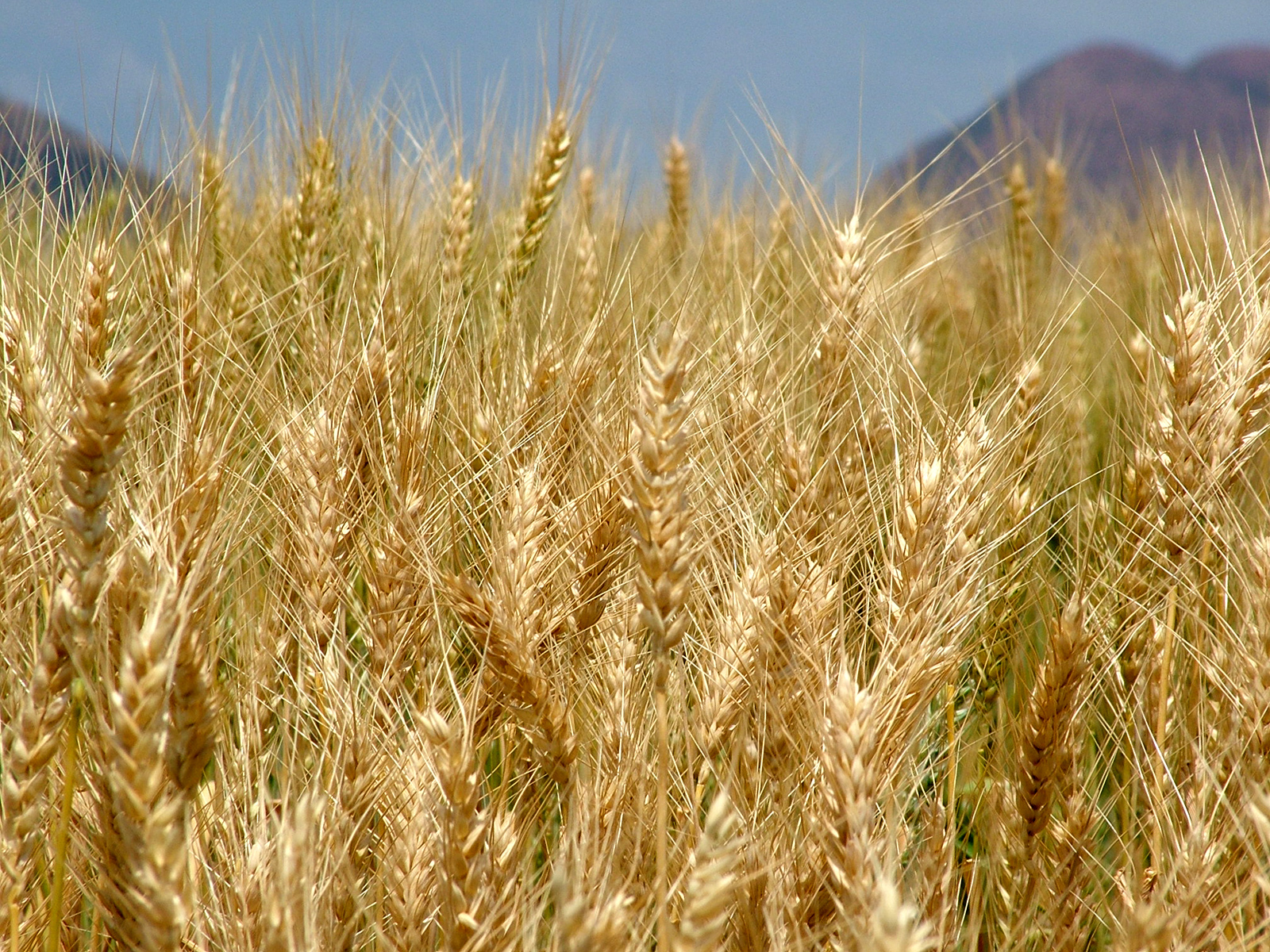
- Economy: Agriculture – known as the ‘bread basket’ of South Africa, with about 90% of the province under crop cultivation. Produces two-fifths of South Africa’s maize (corn) and one-sixth of its wool. Mining – gold. Chemicals industry – home to Sasol (giant synthetic-fuels company).
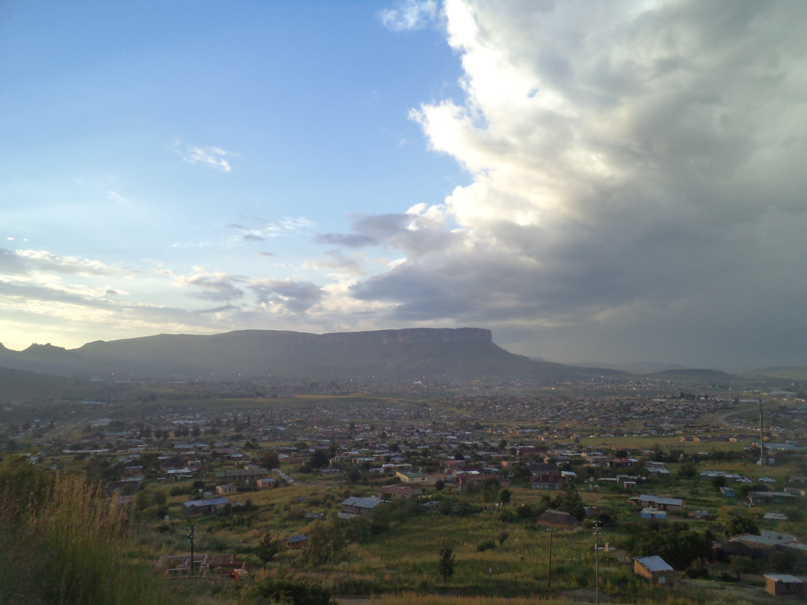
- Notable features/Interesting information: Known for its wide-open spaces. Home to the Vredefort Dome, the world’s biggest meteorite impact site (UNESCO World Heritage Site).
- Previous name: Incorporates the former homelands QwaQwa and part of Bophuthatswana, and the previous Orange Free State Province. The name of the latter was derived from the Orange Free State Boer Republic which was named after the Orange River, which a Dutch explorer named in honour of the ruling Dutch family at the time. Officially renamed to the Free State in 1995.
- Official website: https://www.freestateonline.fs.gov.za/.
- References
- https://en.wikipedia.org/wiki/Free_State_(province)
- https://municipalities.co.za/provinces/view/2/free-state
- https://www.britannica.com/place/Free-State
- https://www.gov.za/about-sa/south-africas-provinces
- Administrative Level
- Province
- Province
- Free State
Linked resources


Part of Free State